Download the Official Yosemite National Park Map (PDF)
Table of Contents
Get Ready to Explore Yosemite with Official Maps
Planning a trip to Yosemite National Park? Having the right maps at your fingertips can make the difference between a smooth, enjoyable visit and a frustrating experience. In this guide, we’ll walk you through the official Yosemite National Park maps available for download, ensuring you have the tools needed to navigate this magnificent natural wonder.
Understanding Your Map Options
Yosemite National Park offers several official map options to suit different needs. The two primary maps available for download are the comprehensive park-wide map and a detailed Yosemite Valley map. Each serves a distinct purpose and provides specific information valuable for different aspects of your visit.
The Complete Yosemite Park Map
The full park map comes in two formats to accommodate different uses. The high-resolution PDF version (84 MB) provides crystal-clear detail and is perfect for printing or viewing on larger screens. For quicker access or mobile viewing, a lighter JPG version (1 MB) is also available.
This comprehensive map showcases:
- All major park roads and seasonal closure information
- An extensive network of hiking trails
- Campground locations throughout the park
- Designated picnic areas
- Notable mountain peaks and elevations
- Rivers and lakes
- All five entrance stations to the park
Exploring the Yosemite Valley Map
The Yosemite Valley map (PDF, 7.5 MB) offers an in-depth look at the park’s most visited area. This detailed resource is essential for day visitors and those staying in the valley, highlighting:
- Parking area locations and capacity
- Shuttle bus stops and routes
- Popular trailhead starting points
- Major valley attractions
- Location of visitor centers
- Dining facilities
- The renowned Ansel Adams Gallery
Why Yosemite Valley Deserves Special Attention
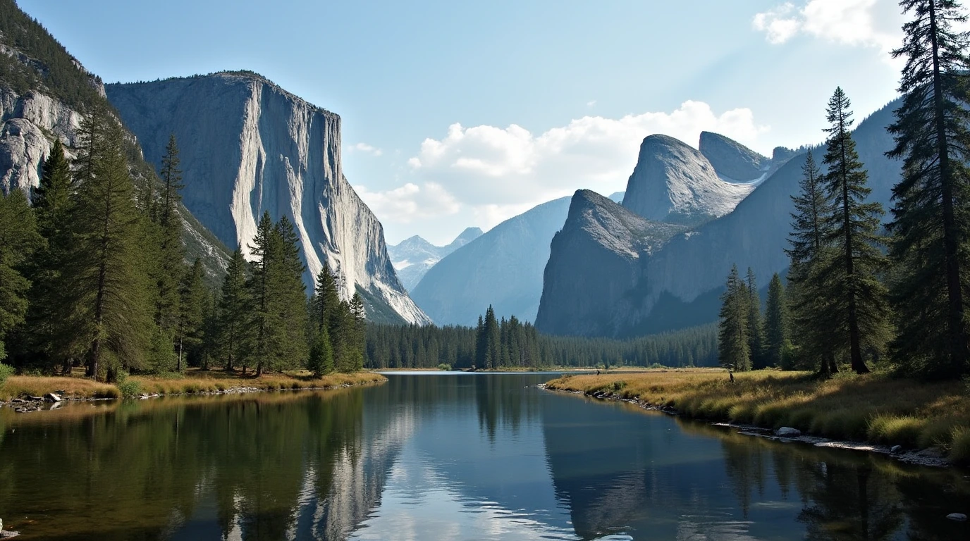
When people mention “Yosemite,” they’re often referring to Yosemite Valley, and for good reason. This iconic area serves as the heart of the park, remaining accessible throughout all four seasons. The valley floor showcases some of the park’s most spectacular features, including:
- Towering waterfalls like Yosemite Falls and Bridalveil Fall
- Magnificent granite formations including Half Dome and El Capitan
- Diverse wildlife viewing opportunities
- Rich cultural history and educational exhibits
Beyond Basic Maps: Additional Resources
While the free official maps provide excellent general information, some visitors might benefit from more detailed resources. The National Geographic Trails Illustrated Map, available through REI.com, offers additional features including:
- Detailed trail information and distances
- Comprehensive points of interest
- Extended geological information
- Backcountry campsite locations
- Weather-resistant material for outdoor use
Planning Tools and Social Connection
To enhance your visit planning, the park offers a free trip planner that complements the maps perfectly. This resource provides seasonal information, suggested itineraries, and important safety guidelines. Stay updated on park conditions and events by following Yosemite’s official social media presence on Facebook and Instagram, where rangers regularly post updates about trail conditions, weather alerts, and wildlife sightings.
Final Tips for Map Usage
Before embarking on your Yosemite adventure, we strongly recommend downloading these maps to your devices and printing physical copies as backup. Cell service can be limited within the park, making offline access to maps crucial for safety and navigation.
Start your trip planning right by downloading these essential resources today. The better prepared you are with accurate navigation tools, the more time you’ll have to enjoy the breathtaking beauty of Yosemite National Park.
There are no reviews yet. Be the first one to write one.


